

Gournia seashore installations
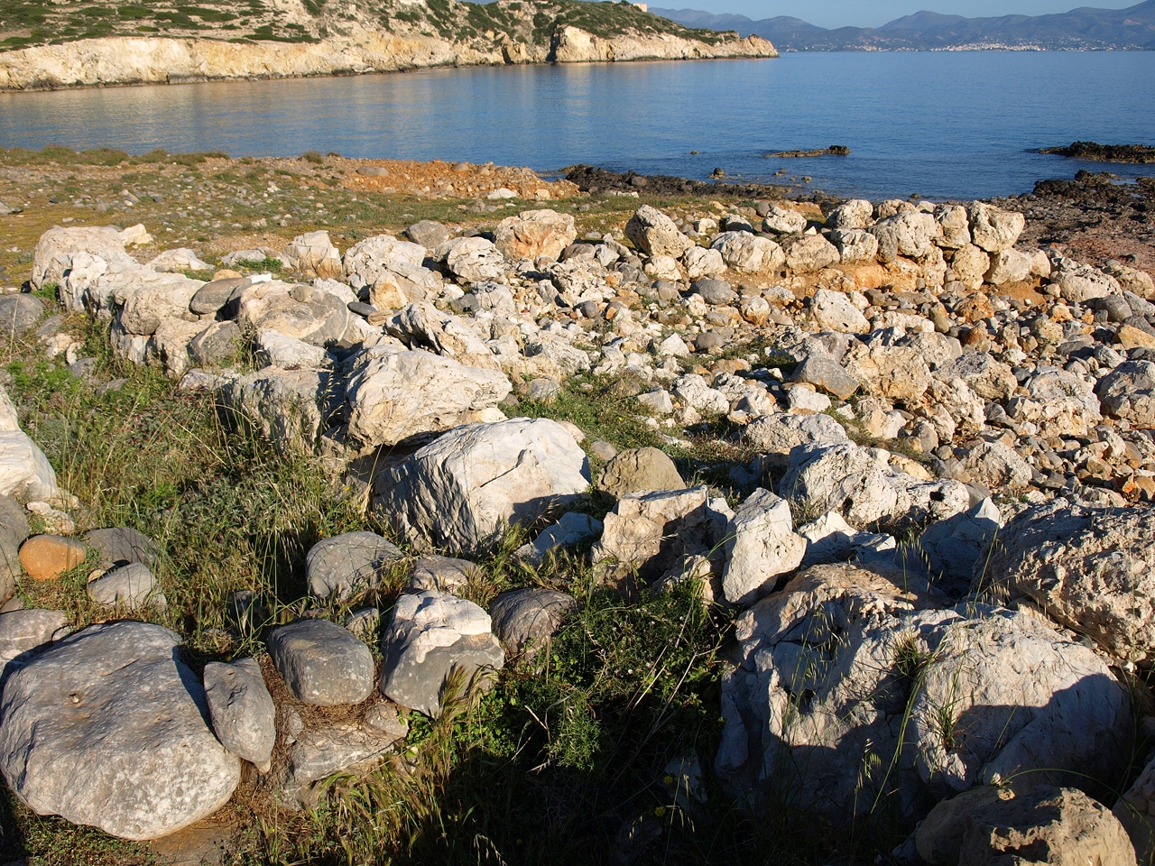
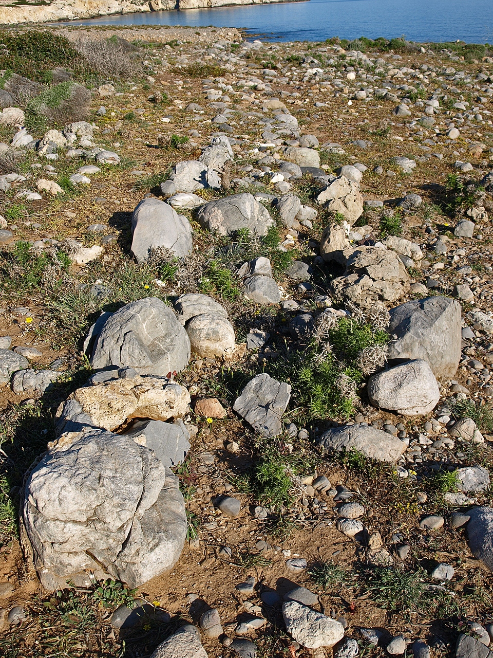
The south wall and west facade of the ship shed
with the fallen masonry from the destruction
lying inside the remains of the ship shed
The first contact that Harriet Boyd had with the town that she was to was excavate in the first years of the twentieth century was, in fact, with the harbour. In 1901 she excavated part of the shore house, but then went on to excavate the town of Gournia itself and did not return to the seafront again.
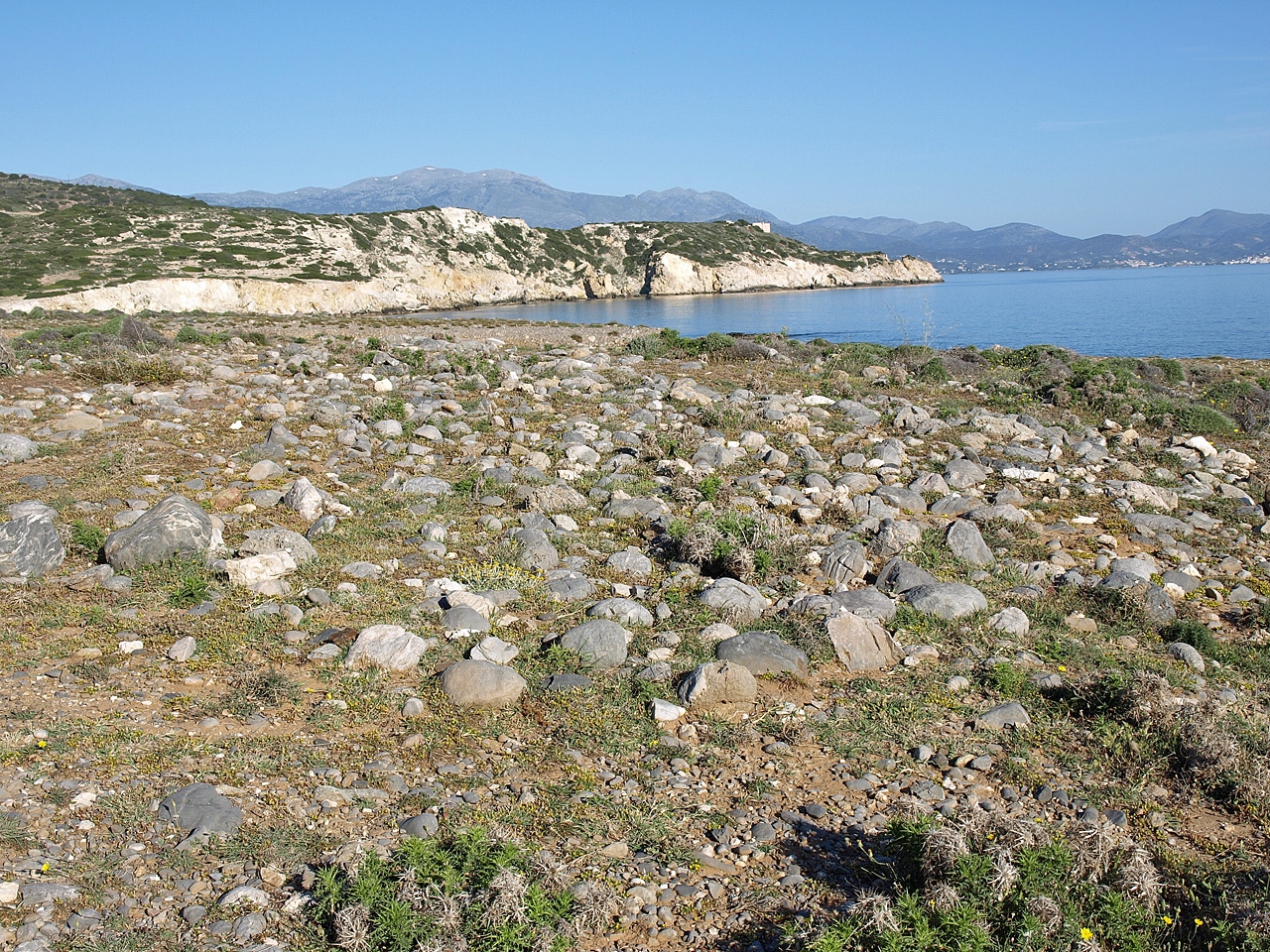
The same area was covered by a field survey in 1992, but it was only the recent cleaning and mapping of the area between Gournia and the sea that brought to light a number of interesting finds. Based on the findings of the 1992 survey, it is thought that the town of Gournia may have extended all the way down from the currently exposed excavations to the seashore in a narrow strip bounded to the West by a deep river ravine and to the East by a hill used extensively for burials. The 1992 survey found a large spread of pottery sherds to the east of the river but comparatively little to the west, leading to the view that the area west of the river had been agricultural land.
The finds resulting from work by Costis Davaras and Lance Watrous were clearly not actually part of the town itself. Instead they found what they say are a wharf, a ship shed, fortifications, a cobbled street and terracing. The site of a dam across the river was also identified.
The "Shore House"
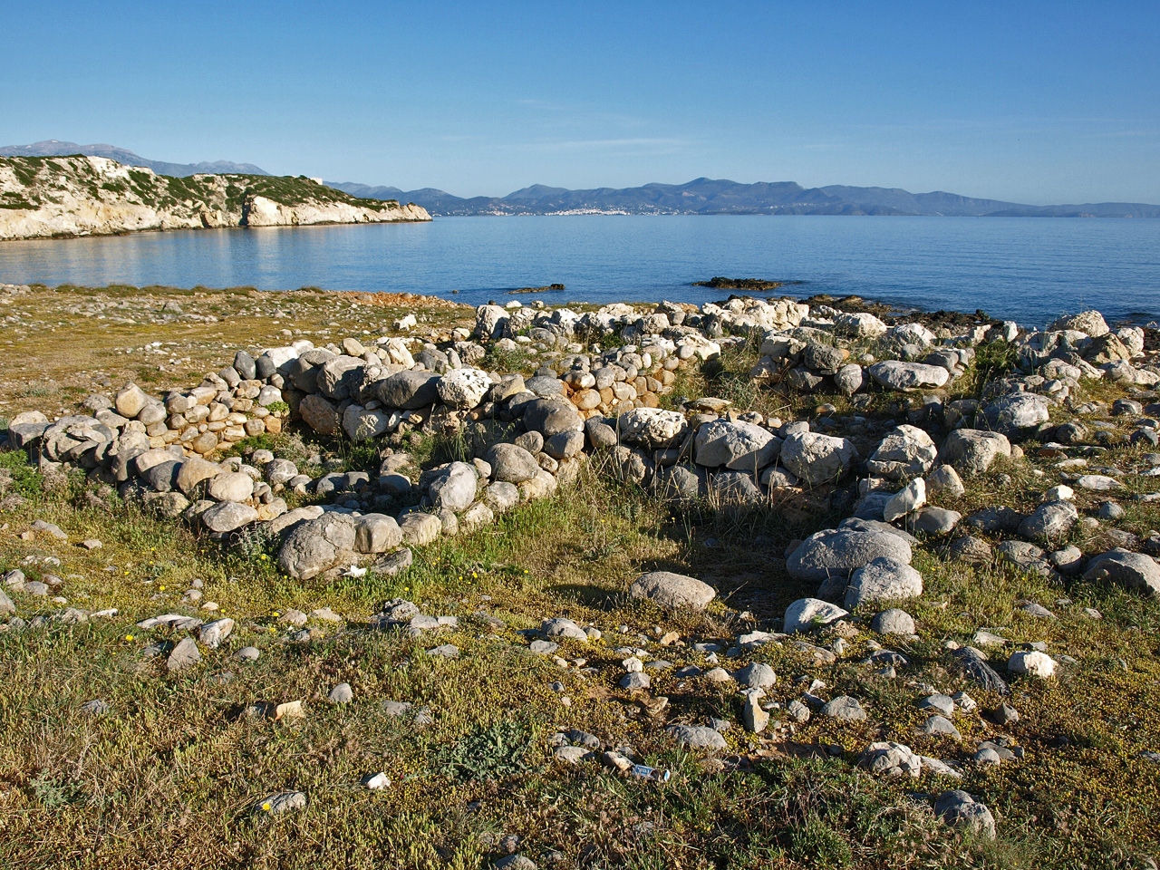
The store house immediately south of the ship shed
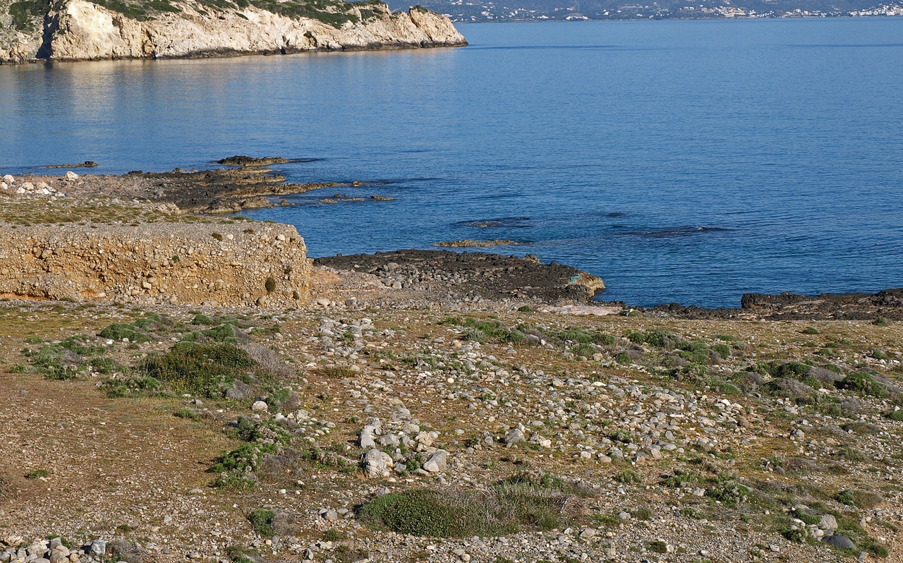
Of the four promontories that stick out into the sea from the coastline at this point, the Minoans decided to build on the second and the fourth, which slope towards the sea unlike the other two that fall away sharply. The second promontory going from west to east is the largest and the site of the large structure excavated there by Harriet Boyd in 1901. She called this structure the Shore House but Davaras and Watrous have concluded that it was the site of a ship shed with two long, narrow chambers each five metres wide, extending north towards the sea and three store rooms on the southern end of the structure. The ship shed was at least 25 metres long and 10 metres wide, although the west wall now extends only for a length of 13 metres and the east wall for nine metres. The only other example of such a structure, which has also been interpreted as ship sheds, is at Kommos on the south coast of Crete near Phaistos.
The store rooms on the south side of the ship shed were already in use in MM II. Boyd found the remains of sizeable storage jars inside and Davaras and Watrous found prepalatial pottery in rooms one and two, confirming the dating of the storerooms to the prepalatial period. Room 3 was built later than rooms one and two, which may have had an upper storey since the remains of a staircase base were found in room two. The ship shed dates from a little later, most likely MM IIIA. Watrous and Davaras suggest that the ship shed may have been destroyed by the tsunami caused by the Thera (Santorini) eruption. As the walls collapsed they fell inwards leaving piles of rubble inside the remains of the ship shed (see photo above left). Pottery evidence from a platform built to the east of the storerooms and extending over the ruins of the east shipshed confirms a destruction date in LM I.
The promontory itself continues underwater for another 60 metres, but would have been above the water level in Minoan times. The excavators found two holes in the form of rings on the west side of the underwater part of the promontory which they believe may have been used to tie up boats. Even further out along the underwater promontory a set of steps was identified.
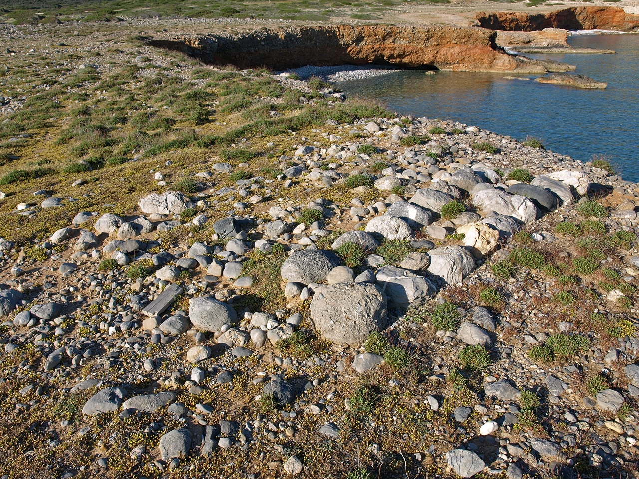
Defensive walls and towers
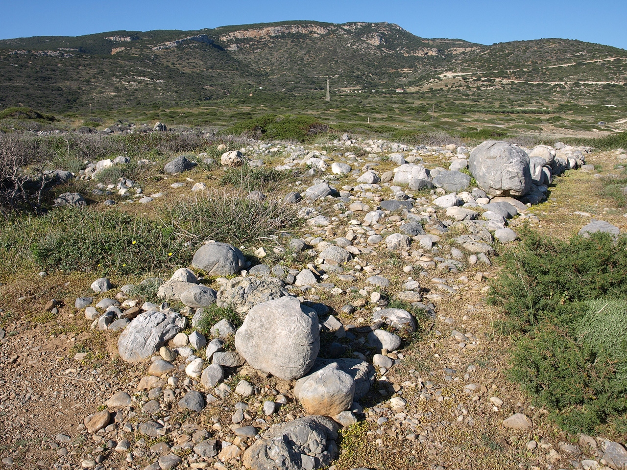
Several walls (see plan) were built on the promontory with the ship sheds. To the west of the ship shed are the remains of a wide wall built with rows of stones along the north and south sides and filled with rubble in between. The wall ran in an east-west direction, possibly from the edge of the promontory to the west wall of the shipshed at the point where it joins the store house. From this wall, another, narrower wall runs north-south parallel to the shipsheds. A few metres south of the ship sheds another wall, again with a rubble interior, runs east-west and although it is not completely preserved it is likely that it extended all the way across the promontory.
The western section of the defensive wall with
the site of the rectangular tower in the foreground
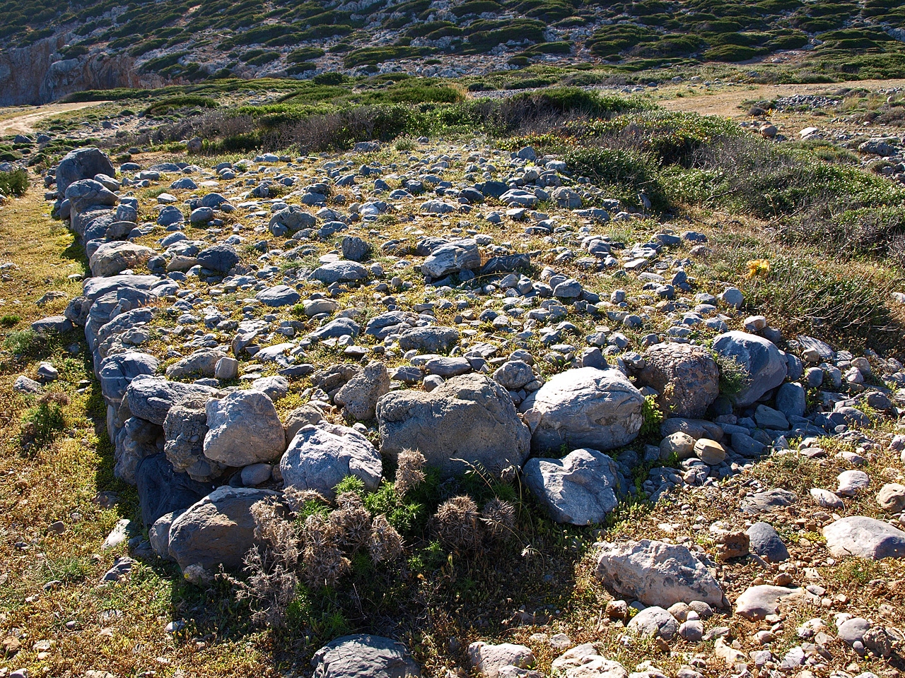
The last and most easterly promontory also slopes down to the sea and was the site of a fortification wall and a tower. A wide, rubble-filled wall ran east to west and against the north side of this wall a semi-circle of stones is all that is left of a large platform which originally formed the base of a mud brick look out tower.
Moving south, we come to the main fortification wall which runs, in two parts, from the fourth promonotory in the east to the river in the west (see plan). The street from the shore to the town passed through this wall. The east section of the wall is 52 metres long while the section of the wall to the west of the street is 135 metres long. Where the western section of the wall begins there is a stone base for a rectangular tower (see photo below) which has been dated to the neopalatial period. So as well as the semi-circular base and its mud-brick tower on the fourth promontory, the whole approach to the town from the sea was protected by these two long fortified walls running east-west from the hillside in the east to the river in the west.
In a number of other Minoan towns evidence for walls surrounding the settlement has been found. Here, by contrast, the defensive walls were built separate from the town, in order to block off the area between the Sphoungaras hill to the east and the river, with its steep banks, to the west. There were two lines of defence, the northern walls limiting access to the two promontories that slope down to the sea, and the walls that meet at the street, the western one with its tower. The fortifications at Gournia are therefore currently unique not only in Crete but in the whole Aegean.
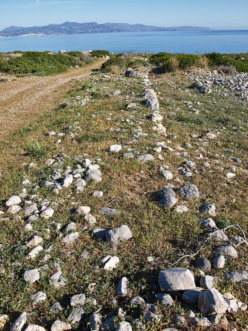
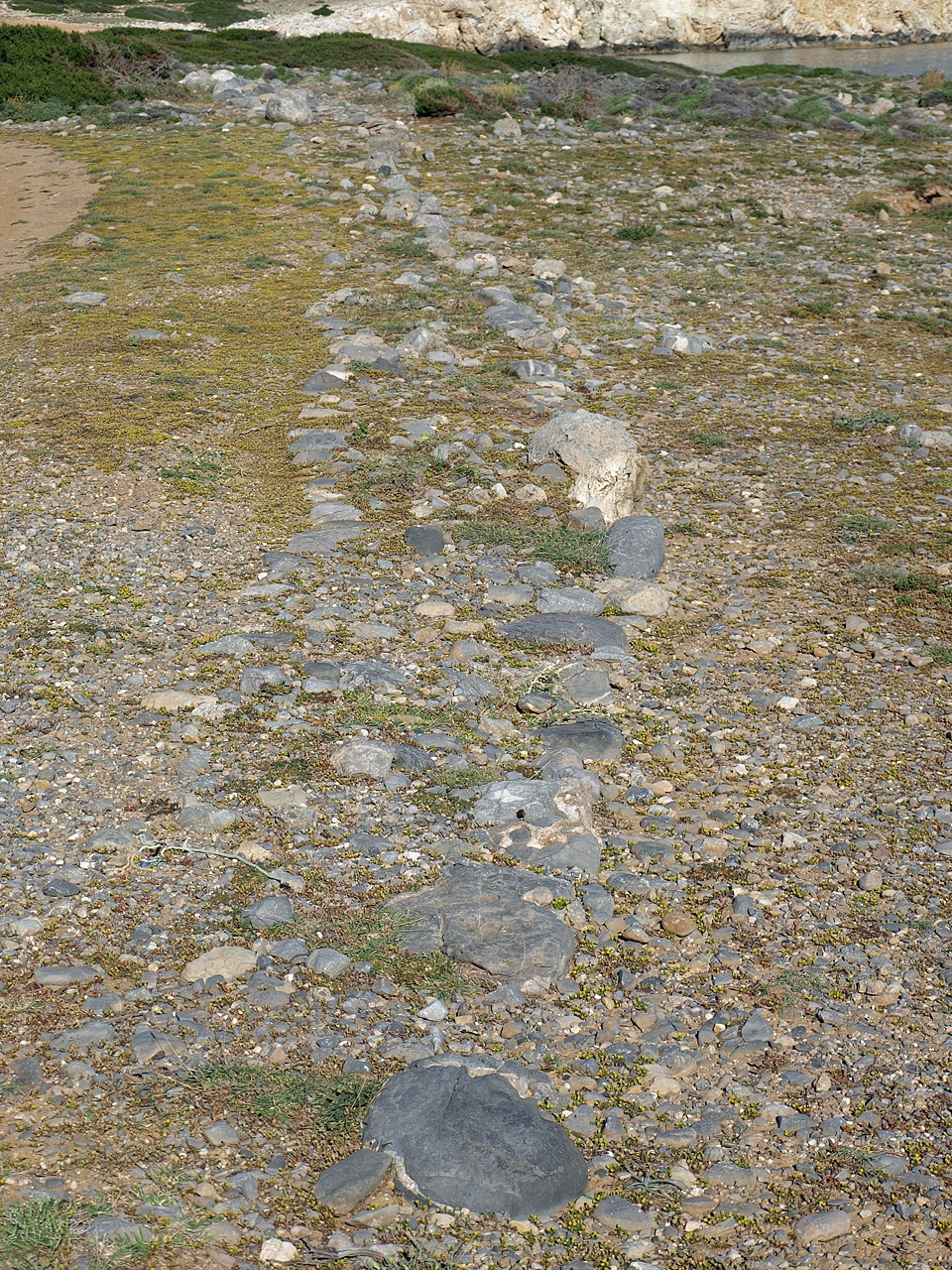
Street leading away from the harbour
to the town
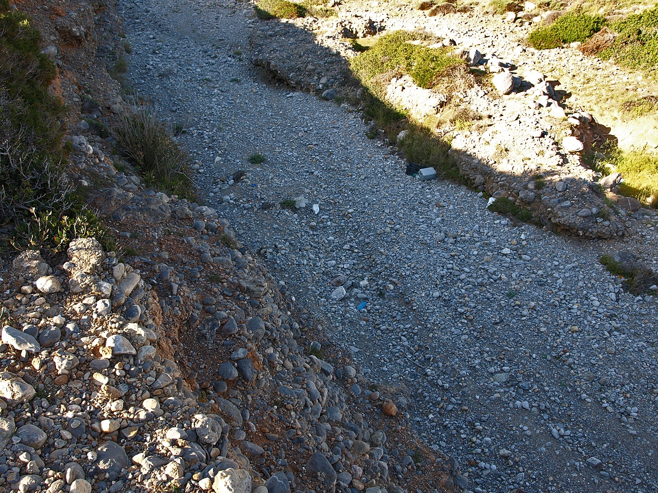
The street
Running south from the gap in the long defensive walls two rows of stones can still be seen about one and a half metres apart. These represent the edges of a cobbled street that ran south from the ship sheds (traces of a the road are just about visible here) to the town of Gournia. Due to its resemblance to streets in the neopalatial town of Gournia, the excavators believe that this street also dates to the neopalatial.
Moving further south again, there are eight or nine terrace walls to the west and four or five to the east of the street. They most likely date from the protopalatial period. These stepped terraces continue almost all the way up to the modern road that runs just south of Gournia town. The terraces were most likely planted with vines as only these of the three basic crops of grapes, olives and grain would have flourished so close to the sea. It is likely that pottery from the town and locally produced wine were exported from the harbour at Gournia.
The dam
On the east bank of the river a cobble path leads to a notch cut into the river bank. Here there are three steps with limestone slabs set upright to form a gateway which leads down to the river. The steps were clearly intended to allow people access to the riverbed and from there to the other side of the river. On the other side of the riverbed, about 120 metres inland, the remains of a large wall jut out from the west bank of the river. A similar wall is located 20 m to the south. Between these walls, rubble had been placed which contained sherds from the MM III-LM I period. Because of their location at the mouth of the river the excavators identified these structures as the remains of dams which would have helped to provide Gournia with water. A similar structure has been identified on the island of Pseira. It is believed that in Minoan times the river ran all year round.
SOURCE: The Harbour Complex at Gournia by L. Vance Watrous, published in AJA, June 2012.
 Remains of the wall on the south edge of the semi-circular fortification base |
 Eastern section of the defensive wall looking west |
 Remains of wall to the west of the ship shed |
 The semi-circular base of the mud-brick tower |
 The fortifications in the foreground |
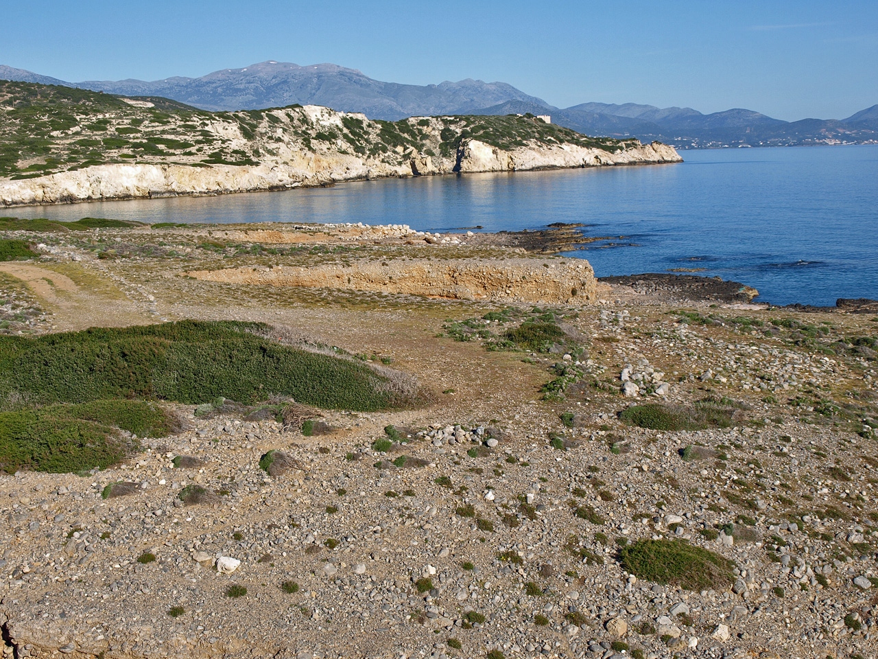 Photo of the larger area showing the fortifications (centre right) with the ship shed and store house (top centre) |
 Likely site of the dam |
 Site of the rectangular tower and west section of the defensive wall at the entrance to the town road |